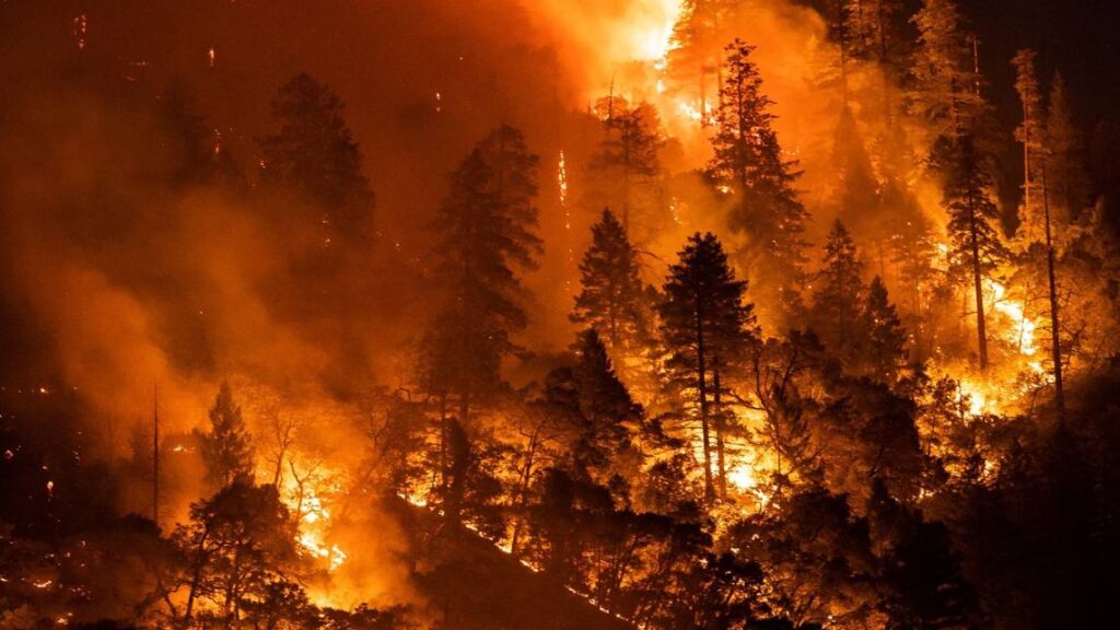
Evacuation Alerts by Mendocino County Sheriff ‘s Office & Office of Emergency Services
Evacuation alerts are given by the Mendocino County Sheriff’s Office via the MendoAlerts system (voice, text and email) and the Nixle system (text only). It is vital that all residents sign up for both of these notification systems. Click here to register for MendoAlerts. Click here to register for Nixle online or register by cell phone by texting 95490 to 888777. Hi-low tone vehicle sirens are another form of evacuation alerts that mean evacuation order – leave now! Various other alert systems, such as sirens, are under consideration by Mendocino County and Fire Departments. All family members should become familiar with the different types of evacuation notices and communication options prior to an emergency.
It is important that individuals are familiar with the following terms:
EVACUATION WARNING
Fire is expected to arrive in 2 hours or more, with threat to civilian life. Gather your evacuation kit and prepare your home for possible evacuation. Evacuate as soon as possible. Click here to access evacuation checklists.
EVACUATION ORDER
Fire is expected to arrive in less than 1 hour, with threat to civilian life. Evacuate immediately. Do not delay to gather belongs or prepare your home.
SHELTER IN PLACE
Community members should stay secured in their current location. Sheltering in place may be used when evacuation would be a greater threat to life.
GETTING INCIDENT NOTIFICATIONS & INFORMATION
CONFIRM INCIDENT —Cal Fire Public Information Line- 707-574-8261
MendoAlerts – voice, text, and emails – register ALL phones
Click here to register for MendoAlert notifications.
Mendocino County Sheriff ‘s Nixle System – text only
Click here to register for Nixle notifications or text 95490 to 888777 for local or MendoAlert for county
Sherwood Firewise SafetyNet – text to cellphones, emails, and calls/voicemail
SFC has created the SafetyNet system for early notice of incidents that may affect residents living along the Sherwood Corridor. A scanner team will activate notices of verifiable incidents that may impact public safety. You can choose to be notified by text, email or phone or all three! Each adult person in a household must register individually. Click here to register to receive Sherwood Firewise SafetyNet notifications.
All information gathered by SFC is confidential, and will not be shared with any other party. It is for the warning system only. You can opt out of SafetyNet at any time.
ACCESSING ONGOING INCIDENT INFORMATION – requires a computer or cell phone and internet,
• CAL FIRE Incident Map – Click here.
• Sat Fire Map – Click here.
• Mendocino County Sheriff ‘s Office– Click here.
• Office of Emergency Services – Click here.
• PG&E Disaster Assistance for those with Disabilities – Click here.
Facebook Groups – from government sites and local groups.
The following FaceBook pages frequently post fire and other safety related incidents. You may need to be a member to access some of these links.
• CAL FIRE Local – Click here.
• CAL FIRE State – Click here.
• Mendocino County Sheriff‘s Office – Click here.
• Brooktrails Township Fire Department – Click here.
• Sherwood Firewise Communities – Click here.
• Brooktrails Community Page – Click here.
• Mendocino Action News – Fire, Traffic and Other Emergencies – Click here.
• 95490 Neighborhood Club – Click here.
• Willits CA 95490 Community Awareness Information – Click here.
• Brooktrails Incidents and Notifications – Click here.
Helpful Apps to download
- Watch Duty app
- Broadcastify app
- Flightradar25 app
- CAL FIRE app
- Windy app
- Quakefeed app
OTHER INFORMATION RESOURCES
• Fire Weather – Click here.
• Smoke & Air Quality – Click here.
• Wind Speed and Direction – Click here.
• PG&E Outages – Click here.
• ID any plane flying overhead – Click here.
• Mile marker – Click here.
• Frequencies – Click here.
• Cal Fire Ready for Wildfire – Click here.
• Sherwood Firewise – Click here.
EARTHQUAKE REPORTS
• Mendocino County Amateur Radio Radio Communications Service – Click here.
https://earthquake.usgs.gov/earthquakes/map/
https://scedc.caltech.edu/recent/Maps/123-39.html
https://earthquaketrack.com/recent
https://seismo.berkeley.edu/seismo.real.time.map.html
https://earthquake.usgs.gov/earthquakes/feed/
